Survey Equipment
Civicomp sells the full range of CHCNAV survey equipment, supplied by our partner MMS Design. Competitively priced, easy to use and backed by professional support — we aim not just to sell a product, but to provide a complete solution.
GNSS Receivers
Real-time, centimetre-accurate positioning for surveying, mapping, construction and agriculture.

CHCNAV ViLi i100
The ViLi i100 is CHCNAV's flagship GNSS RTK receiver, combining advanced satellite filtering, enhanced SFix 2.0 positioning and innovative Vi-LiDAR technology.

CHCNAV i93
The i93 GNSS receiver is an extremely versatile RTK that integrates the latest GNSS, IMU and premium dual-camera technologies for a more compelling user experience.
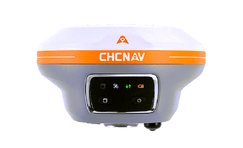
CHCNAV i89
The i89 GNSS receiver is a compact, pocket-sized RTK that integrates advanced GNSS, IMU and visual technology.
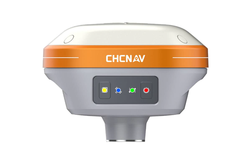
CHCNAV i73+
The i73+ GNSS receiver is a compact, lightweight RTK device that integrates advanced GNSS, IMU and visual technology.
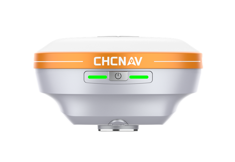
CHCNAV i76
The i76 GNSS receiver is a compact, palm-sized RTK that integrates advanced GNSS, IMU and visual technology.

CHCNAV iBase
The iBase GNSS from CHC Navigation is a reliable and efficient GNSS base station designed for high-precision applications.
GNSS Antennas
Geodetic and reference-station antennas for surveying, mapping and precision agriculture.

CHCNAV AT661 Antenna
The AT661 is a compact, rugged geodetic GNSS antenna delivering performance comparable to a conventional choke-ring antenna.

CHCNAV AT312 Antenna
The AT312 is a versatile geodetic GNSS antenna for land surveying, construction and engineering.
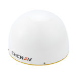
CHCNAV C220GR2 Antenna
The C220GR2 is a high-performance GNSS choke-ring antenna optimised for reference-station applications.
GNSS Sensors
Navigation and CORS sensors for static, dynamic and reference-station applications.

CHCNAV P5E GNSS Sensor
The P5E GNSS reference receiver guarantees outstanding performance for all geodetic and scientific applications.
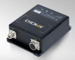
CHCNAV P2 GNSS Sensor
The P2 GNSS sensor provides robust, real-time centimetre-level GNSS positioning for static or dynamic applications.

CHCNAV P2 Pro GNSS Sensor
The P2 Pro GNSS sensor is a dual-antenna high-precision receiver designed to provide reliable and precise heading and positioning for demanding applications.

CHCNAV P2 Elite GNSS Sensor
The P2 Elite is an advanced dual-antenna high-precision positioning and heading GNSS sensor for the most demanding applications.
Data Collectors & Controllers
High-definition field controllers built for accuracy, efficiency and productivity.

CHCNAV LT800H RTK Tablet
The LT800H RTK tablet is a high-accuracy GNSS receiver designed for professional geospatial users, offering real-time kinematic (RTK) positioning for precision surveying, mapping and GIS data collection.

CHCNAV LT60H Smartphone
The LT60H rugged smartphone is a reliable, effective tool for industries needing centimetre or decimetre positioning accuracy.
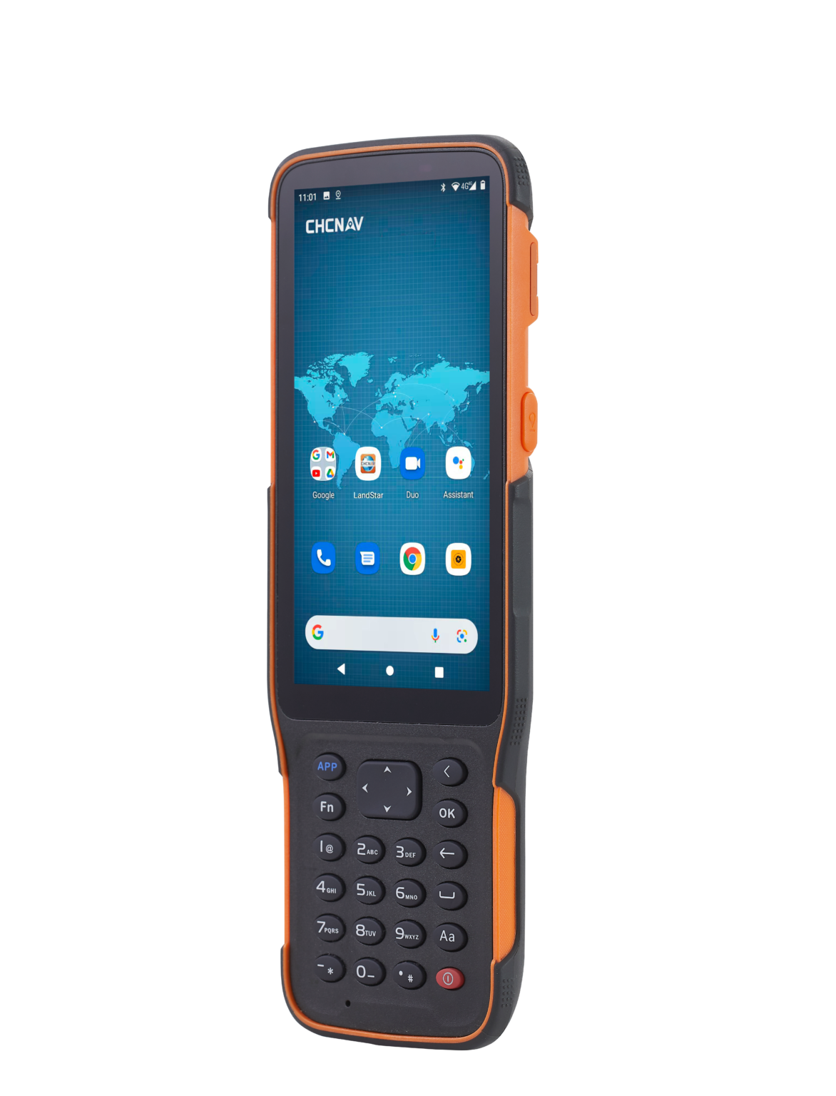
CHCNAV HCE600
The HCE600 is a lightweight, compact, professional Android 10 data collector with an alphanumeric keypad, designed for surveying and mapping in the field.

CHCNAV LT700 Tablet
The LT700 rugged Android tablet increases the efficiency and productivity of your mobile workforce across industries.
Total Stations
Fast, accurate total stations for routine survey and setting-out.
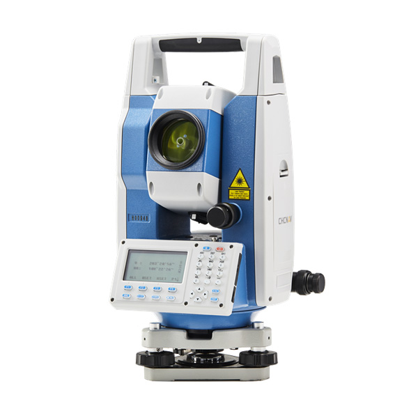
CHC CTS-112R4 Total Station
The CHC CTS-112R4 is one of the fastest total stations in its class, with a 0.3-second distance measurement.
Machine Control & Guidance
GNSS auto-steer, guidance and control systems for construction and agriculture.
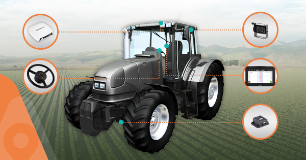
CHCNAV NX510 Autosteering System
The NX510 is a high-accuracy automated steering system designed for tillage, seeding, fertilisation, spraying and harvesting.
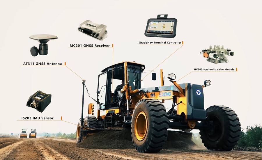
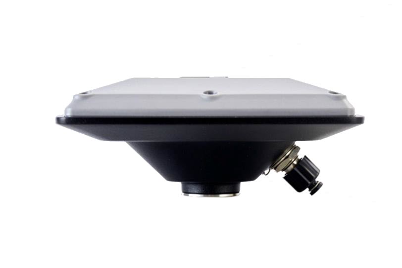
CHCNAV TX63 GNSS Guidance
The TX63 excavator guidance system features dual GNSS, high-frequency IMUs and the advanced EX-Tech model algorithm to deliver precision surpassing ±3 cm on both sides of the bucket tip.
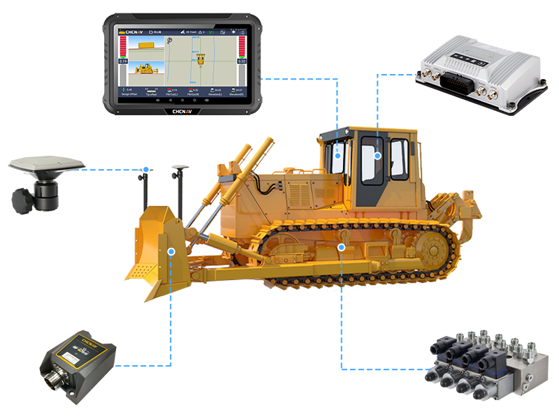
CHCNAV TD63 Pro Dozer 3D
The TD63 Pro automatic 3D dozer control system improves the quality and productivity of earthmoving and fine-grading operations.

EasyNAV EMG100
The EasyNAV EMG100 3D Excavator System is a precise, user-friendly solution for efficient excavation.
Agriculture
Automated steering for tillage, seeding, fertilisation, spraying and harvesting.
CHCNAV NX510 Autosteering System
The NX510 is a high-accuracy automated steering system designed for tillage, seeding, fertilisation, spraying and harvesting.
Mobile Mapping
Survey-grade LiDAR and mobile-mapping with long-range capability and flexibility.

SLAM100 Handheld Laser Scanner
The SLAM100 is the first handheld LiDAR scanner launched by Feima Robotics.
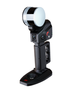
CHCNAV YHS12C SLAM Scanner
The SLAM100-YHS12C is a handheld LiDAR scanner with a 360-degree rotating head delivering 270 x 360 degree point-cloud coverage.
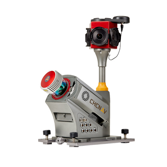
CHCNAV Alpha3D Mobile Mapping
CHC Alpha3D is a vehicle-independent mobile mapping platform that combines a Riegl VUX-1HA laser scanner, a FLIR Ladybug5+ 360-degree spherical camera, a KVH1750 IMU and a NovAtel ProPak6 GNSS receiver into an extremely robust and efficient solution for corridor, city, rail and mining mapping.

CHCNAV AlphaAir 450
The AlphaAir 450 (AA450) is a breakthrough in 3D mobile mapping, bringing geospatial reality capture to users who have never been able to access such technology before, at an affordable price.
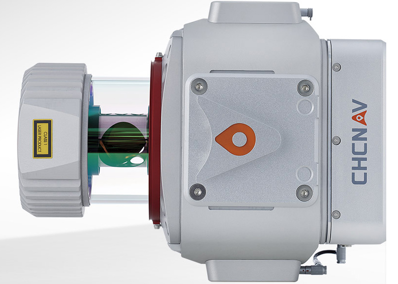
CHCNAV AlphaUni Mapping System
The AlphaUni 900/1300 are high-end multi-platform LiDAR systems from CHCNAV's Alpha Mobile Mapping family.

CHCNAV AlphaAir 10
The AlphaAir 10 (AA10) is a professional airborne LiDAR+RGB system designed to meet the demanding requirements of UAV LiDAR mapping and drone photogrammetry.

CHCNAV AlphaAir 15
The AlphaAir 15 (AA15) is a lightweight, high-performance airborne LiDAR system designed for large-scale operations where high-density data capture is crucial.
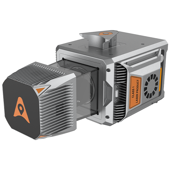
CHCNAV AlphaUni 20
The AlphaUni 20 (AU20) is a cost-effective, premium-class multi-platform mobile mapping system that embodies CHCNAV's advanced LiDAR technology.
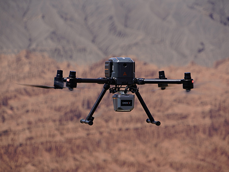
CHCNAV X500 UAV
The CHCNAV X500 rotor UAV is a professional drone engineered for exceptional payload capacity and endurance.
Marine & Bathymetric
Autonomous marine survey - USV drones, echo sounders and hydro-survey software.

CHCNAV Apache6 USV
The Apache6 USV is a fully integrated solution for 3D bathymetric survey, underwater object positioning, offshore construction, underwater archaeology and wreck rescue.
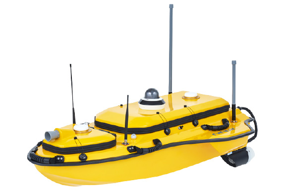
CHCNAV Apache4 USV
The Apache4 is an Unmanned Surface Vehicle supporting a wide variety of ADCP systems for efficient hydrographic, bathymetric and hydrological surveys.
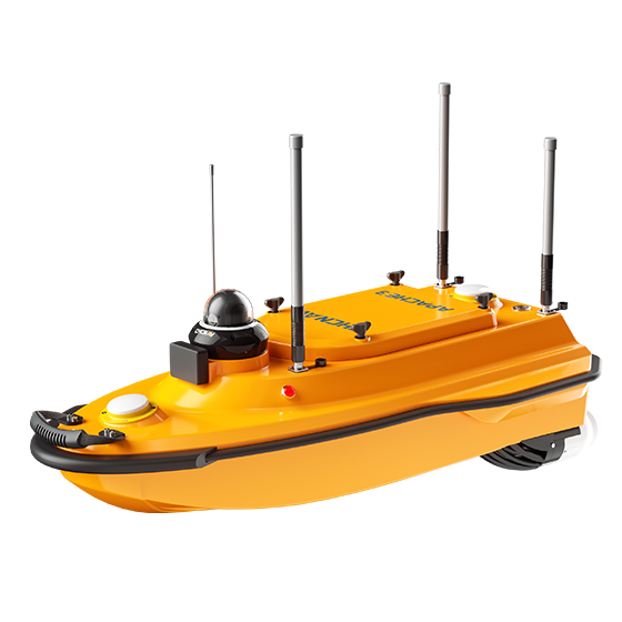
CHCNAV Apache3 USV
The Apache3 is a portable, shallow-draft USV with a single-beam echo sounder for bathymetric surveys of lakes, inland rivers and coastal areas.

CHCNAV D230 Echo Sounder
The D230 is a new-generation echo sounder from CHC - small, portable, robust and very accurate, making hydrographic surveying simpler and more productive.

CHCNAV D390 Echo Sounder
The D390 is a fully integrated, affordable single-frequency echo-sounder solution combined with the performance of an industrial PC.
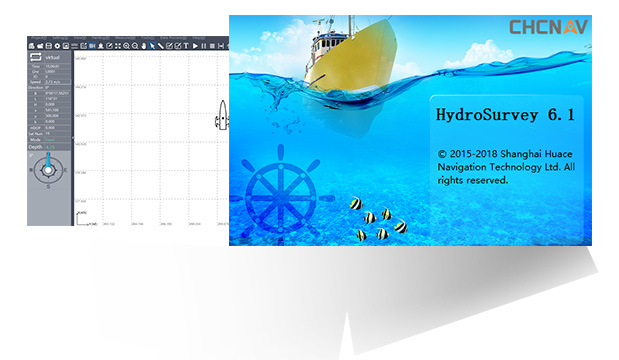
HydroSurvey Software
HydroSurvey software handles raw data collection, mapping, positioning, real-time track display, data processing and coordinate-file export for hydrographic survey.
Need help choosing the right equipment?
Tell us about your application and we'll recommend the right CHCNAV solution and prepare a quote.
Get a quote