
CHCNAV AlphaAir 6 (AA6)
Long-range airborne LiDAR for demanding UAV surveys
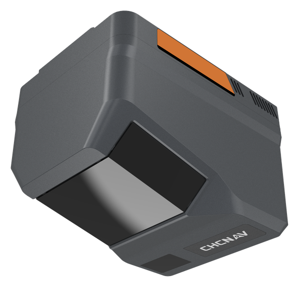
The CHCNAV AlphaAir 6 captures survey-grade 3D data across complex terrain, corridor and large-area mapping projects with a lightweight, high-performance airborne LiDAR system. With a range of up to 2,100 m, up to 16 returns and coverage of up to 15 km² per mission on the X500 drone, it suits forestry, corridors and large aerial surveys.
- Up to 2,100 m range
- Up to 2,000 kHz pulse rate
- Up to 16 returns
- 100 to 600 m typical flying height
- 1.35 kg scanner
Why the CHCNAV AlphaAir 6 (AA6)
Long range
A maximum range of 2,100 m and up to 16 returns capture ground detail through vegetation and over complex terrain.
Survey-grade IMU
0.3°/h bias instability, 0.006° pitch and roll and 0.015° heading accuracy keep the point cloud tight.
Large-area coverage
Cover up to 15 km² per mission when flown on the CHCNAV X500 drone.
Key specifications
- 2,100 m max range
- Up to 16 returns
- 1.35 kg scanner
- Up to 15 km² per mission (X500)
Interested in the CHCNAV AlphaAir 6 (AA6)?
Request a quote or ask us for advice on the right configuration for your application.
Get a quote