CHCNAV RS10
GNSS RTK, laser scanning and visual SLAM in one instrument
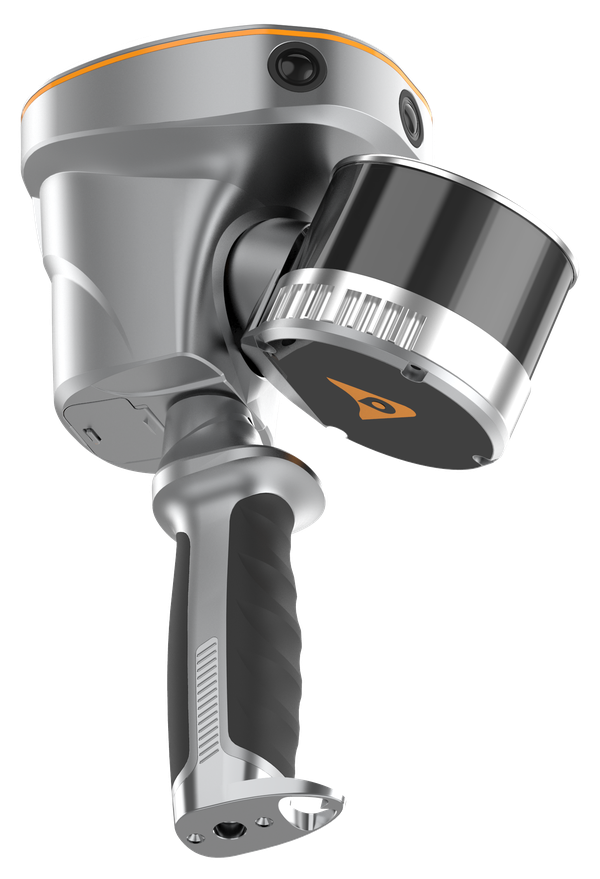
The CHCNAV RS10 is a versatile platform that integrates classical GNSS RTK, laser scanner and visual SLAM technologies to perform surveying tasks with one instrument. Real-time SLAM mapping, an efficient loop-free workflow and a hot-swappable battery keep fieldwork moving, with absolute accuracy better than 5 cm and relative accuracy better than 1 cm.
- Integrated GNSS RTK and SLAM
- 16- or 32-channel laser scanner, 120 or 300 m range
- 15 MP camera and 200 Hz IMU
- Better than 5 cm absolute and 1 cm relative accuracy
- Hot-swappable battery and 512 GB storage
Why the CHCNAV RS10
One instrument for every task
Classical GNSS RTK, laser scanning and visual SLAM work together, so a single instrument covers your surveying tasks.
Real-time SLAM mapping
Watch the point cloud build up in real time as you move through the site.
Efficient loop-free workflow
No need to return to your starting point to close the scan, saving time on every job.
Durable and lightweight
At about 1.9 kg with a hot-swappable battery, the RS10 is built for full days in the field.
Key specifications
- <5 cm absolute accuracy
- <1 cm relative accuracy
- 8 mm + 1 ppm RTK horizontal
- 1.9 kg (16-line)
Interested in the CHCNAV RS10?
Request a quote or ask us for advice on the right configuration for your application.
Get a quote