
CHCNAV AlphaUni 20
Cost-effective premium multi-platform LiDAR
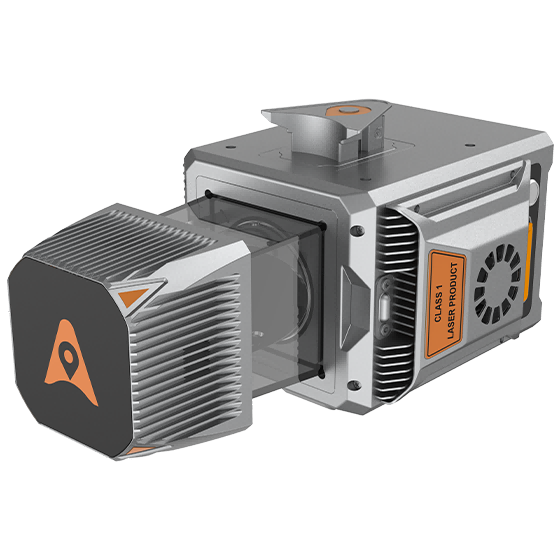
The AlphaUni 20 (AU20) is a cost-effective, premium-class multi-platform mobile mapping system that embodies CHCNAV's advanced LiDAR technology. Designed for precise point-cloud generation, it is ideal for pavement assessment, highway maintenance and asset management through vehicle-based surveying, while in airborne applications it increases survey efficiency with excellent vegetation penetration, long measurement range and high data accuracy and density.
- Premium multi-platform LiDAR
- Excellent vegetation penetration
- Vehicle and airborne operation
- High data accuracy and density
- Flexible imaging options
Why the CHCNAV AlphaUni 20
Multi-platform mapping
A premium-class system for both vehicle-based surveying - pavement assessment, highway maintenance and asset management - and airborne missions.
Airborne efficiency
In airborne use the AU20 increases survey efficiency with excellent vegetation penetration, long measurement range and high data accuracy and density.
Precise point clouds
CHCNAV's advanced LiDAR technology delivers precise point-cloud generation for demanding mapping applications.
Interested in the CHCNAV AlphaUni 20?
Request a quote or ask us for advice on the right configuration for your application.
Get a quote