HydroSurvey Software
Hydrographic survey data-collection software
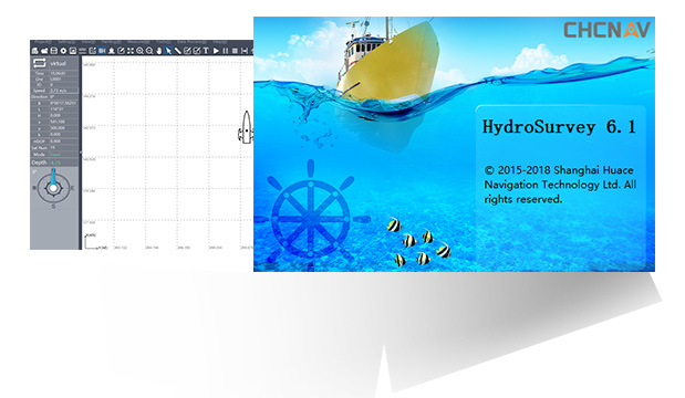
HydroSurvey software handles raw data collection, mapping, positioning, real-time track display, data processing and coordinate-file export for hydrographic survey. It offers intuitive setup of GNSS RTK and echo-sounder parameters, real-time display of echo-sounder data and RTK position, and self-checking of echo-sounder data to enhance survey quality.
- Intuitive GNSS RTK + echo-sounder setup
- Real-time echo-sounder and RTK display
- Self-checking for survey quality
- Data processing and coordinate export
Why the HydroSurvey Software
Intuitive setup
Quick, intuitive setup of GNSS RTK and echo-sounder parameters gets you surveying faster.
Real-time monitoring
Real-time display of echo-sounder data and RTK position, including a live survey track.
Quality assurance
Self-checking of echo-sounder data enhances survey quality, with full data processing and coordinate-file export.
Interested in the HydroSurvey Software?
Request a quote or ask us for advice on the right configuration for your application.
Get a quote