CHCNAV AlphaUni Mapping System
Long-range, multi-platform high-end LiDAR
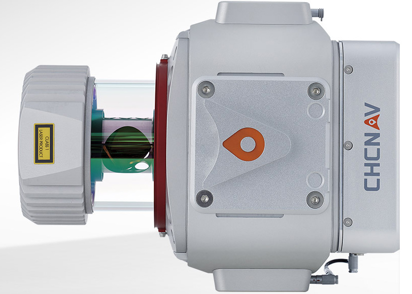
The AlphaUni 900/1300 are high-end multi-platform LiDAR systems from CHCNAV's Alpha Mobile Mapping family. Built around Riegl's premium VUX-1 UAV and VUX-1 LR long-range scanners with industry-leading GNSS and IMU sensors and unique Waveform-LiDAR technology, they are designed for the most demanding airborne and ground mapping missions requiring the highest data quality.
- Scanning range up to 920 m or 1350 m
- Riegl VUX-1 Waveform-LiDAR
- Multi-platform (UAV, vehicle, backpack)
- 5-minute platform switch
- CoCapture / CoPre / CoProcess workflow
Why the CHCNAV AlphaUni Mapping System
Survey-grade accuracy with long range
Riegl's premium VUX-1 UAV and VUX-1 LR high-speed, long-range scanners combine with industry-leading GNSS and IMU sensors for accuracy at high speeds and altitudes over large scan regions - range up to 920 m (AlphaUni 900) or 1350 m (AlphaUni 1300).
Greatest flexibility
In only 5 minutes of setup, capture reality from multiple platforms - multi-rotor and fixed-wing VTOL UAVs, vehicle mode for highway mapping, or backpack mode.
Connectivity
Different connection ports support additional synchronisation with DMI, GAMS dual GNSS antenna, various cameras and other NMEA devices.
Efficient workflow
Fully automated reality capture and real-time mission monitoring with CoCapture, semi-automated processing with CoPre, and feature extraction in Orbit GT or CoProcess.
Key specifications
- Range up to 920 m (AU900) / 1350 m (AU1300)
- Riegl VUX-1 UAV / VUX-1 LR scanners
- Multi-platform: UAV, vehicle, backpack
Interested in the CHCNAV AlphaUni Mapping System?
Request a quote or ask us for advice on the right configuration for your application.
Get a quote